An interdisciplinary team from the University of Oklahoma was recently awarded funding for their project, “Using Colormaps to Communicate Risk: An Inventory and Review of NWS Products and Visualizations with Options for the Future.” The project received a $229,836 grant from the U.S. Department of Commerce National Oceanic and Atmospheric Administration.
The principal investigator of the project is Joe Ripberger, an associate professor of political science and deputy director for research at the Institute for Public Policy Research and Analysis. The team also consists of co-PIs Angela Person, an associate professor of Architecture, and Makenzie Krocak, a research scientist and social science lead at the National Severe Storms Laboratory. The PIs are assisted by Zoey Rosen (postdoctoral research associate), Abigail Bitterman (research associate), and Sarah Melcher (research assistant).
The project began on September 1, 2023, and will run until March 1, 2025. According to Ripberger, “This is a really exciting project at the cutting edge of risk communication, data visualization and design theory. Forecasters have access to all kinds of information that will help people make decisions during extreme weather events, but relatively little guidance about the best way to display that information.”
Colormaps, also known as color scales, are frequently used by the National Weather Service to convey risk to core partners and members of the public. Many people rely on these products and visualizations when making decisions that protect their life and property. However, weather forecasters have relatively little guidance on the colors and scales to use when developing these colormaps. As a result, there is considerable inconsistency in colormaps across the NWS agency.
The first part of this project will address these inconsistencies by providing a comprehensive inventory of colormaps that forecasters currently use in NWS products and visualizations. This inventory will document the variety of colors and scales used across domains and explain the logic behind each colormap.
The second part of this project will review past research on the use of colormaps in risk communication. The team will document and synthesize findings from studies that empirically evaluate the influence of various colormaps on risk communication, resulting in a preliminary set of best practices.
The team will then review products and visualizations in the inventory against these best practices to provide insight on current practices and options for the future. This work will lay the foundation for a future project that will provide specific recommendations about how to coordinate colormaps across the NWS.
Ripberger summarized his team’s excitement for the project, “We hope that this project will begin to provide this guidance, ultimately helping people better understand their risks and make more informed choices during future weather events.”
Featured Image: courtesy of NOAA Earth Systems Research Laboratories
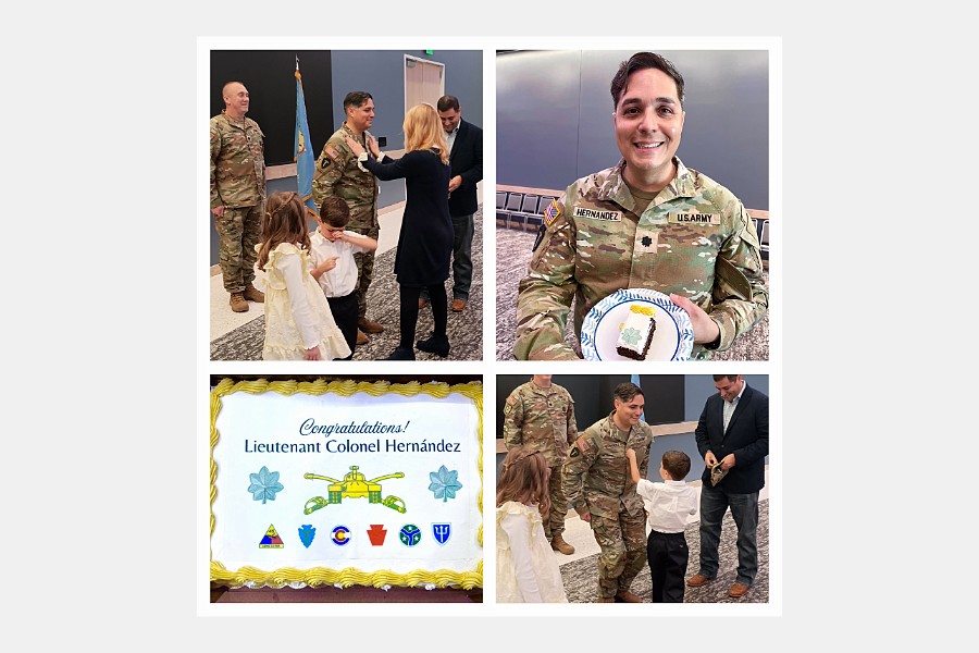
Christopher C. Gibbs College of Architecture is proud to announce the promotion of Ph.D. student Rafael Hernandez to lieutenant colonel in the U.S. Army Reserve.
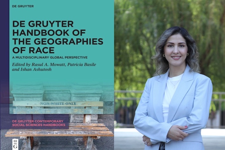
Gibbs College of Architecture Assistant Professor Dr. Ladan Mozaffarian, in the Division of Planning, Landscape Architecture and Design, has co-authored a new book chapter with Josh Newton and Andrew Born, published in De Gruyter Handbook of the Geographies of Race.
Planning, Landscape Architecture, and Design (PLAD) alumni Trey Ingram, AICP recently spoke with current PLAD student and graduate media assistant Molly Strobel to share his experiences with the Regional and City Planning program and current work with the Toyota Mobility Foundation.