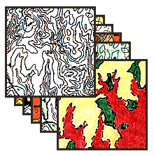
The Graphic Overlay Method
In the "dark ages" before Personal Computers...,
Map information was primarily on paper media!
Introduction
Map Features
Feature Measurements
Map Coding
Value Added Maps
Elevation Maps
Soil Survey Maps
Soil Attributes
Soil Characteristics
Combining Strategy
Process Map
Solution Map
Return to EARTHUSE Homepage
|
Resume
All contents copyright (C) 1993-1999, D. Fehler
All rights reserved.